A map showing how Kirk Hallam and Little Hallam have changed over the decades is being sold at venues around the borough.
The old map demonstrates the changes over 70 years. Ilkeston and District Local History Society is behind the reprint of a 1938 Ordnance Survey map, which shows Kirk Hallam as a village with 300 residents, compared to 7,500 today - there is neither a post office or shop shown on the map. In Little Hallam, the Sanatorium was still in use and new homes had been provided to local colliery workers. To purchase a copy of the map for £1.50, visit Ilkeston Library, Erewash Museum in High Street, Ilkeston or Shipley Park Visitor Centre.

 Police appeal for information and assistance after 90 year old has her handbag stolen
 Derbyshire council allocates over £13m of funding for SEND school projects and inclusion
 “We Are Not Rubbish”: Art Exhibition challenges perceptions at Erewash Museum
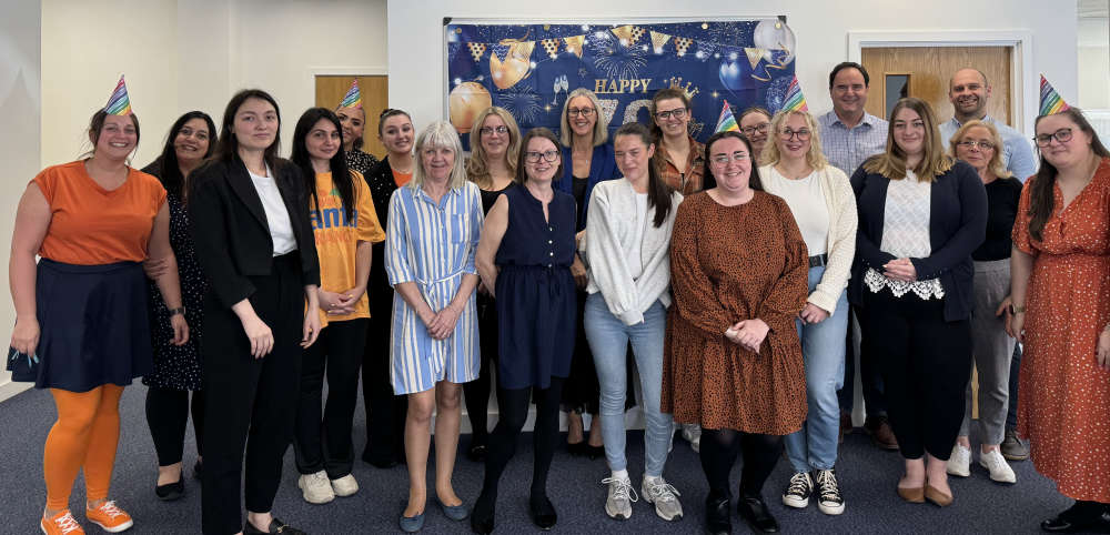 Ilkeston firm celebrates its 70th Anniversary and its 40th Year in the town
 Ilkeston Charter Fair


